Capture site detail and levels
Surveyed terrain elevations and visible site features to build a measured representation of the resort site.

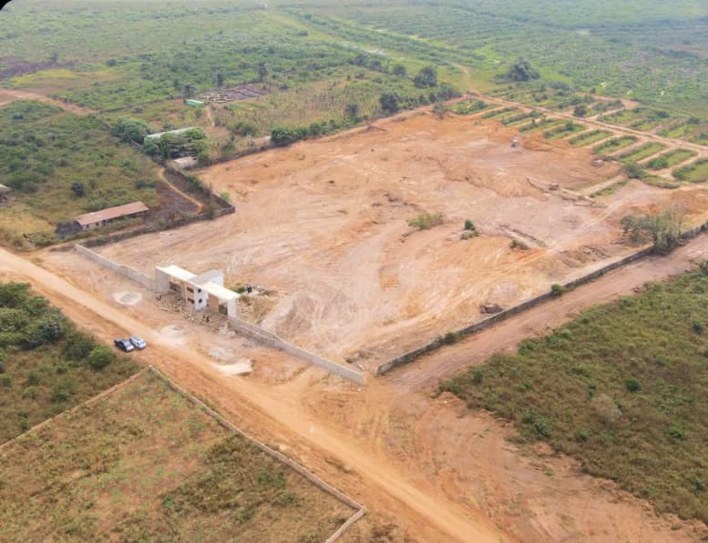
Estate project
Ketu-Epe, Lagos
Survey work completed
Mapped site terrain, elevations and water-flow patterns to inform engineering design for the park and resort development.
Work completed
Surveyed terrain elevations and visible site features to build a measured representation of the resort site.
Organised the elevation observations into contour information showing how the ground rises, falls and changes across the site.
Used the recorded levels and terrain shape to identify surface flow patterns and provide drainage-planning information to the engineering team.
Compiled the topographic plan and level data for use in assessing drainage routes, site grading and foundation design.
Planning a development?