Review boundary records
Reviewed the available cadastral plan and land records to understand the recorded estate perimeter and adjoining boundaries before field verification.

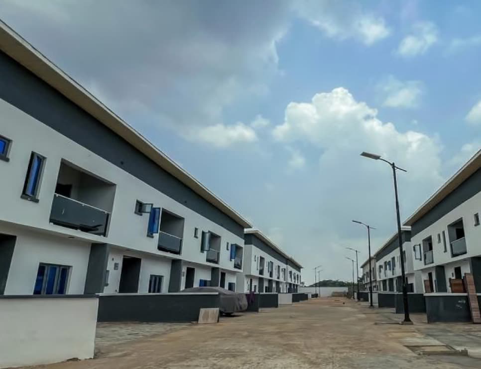
Estate project
Isheri-North GRA, Lagos
Survey work completed
Focused on confirming the estate perimeter and documenting cadastral boundary information for land records.
Work completed
Reviewed the available cadastral plan and land records to understand the recorded estate perimeter and adjoining boundaries before field verification.
Inspected existing boundary evidence and measured the perimeter positions. Field observations were compared with the recorded plan to confirm the boundary alignment and identify any differences for follow-up.
Documented the verified boundary positions and associated beacon information so the perimeter could be identified and checked on the ground.
Compiled the verified survey information and geodetic data into cadastral survey-plan documentation, then prepared the plans for certification and statutory processing.
Planning a development?